
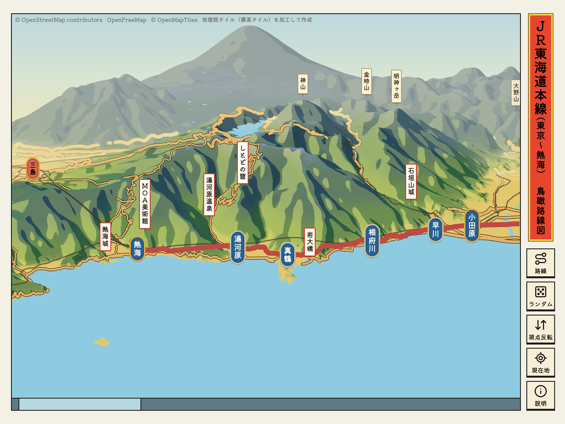
大正〜昭和の鳥瞰図絵師・吉田初三郎に敬意を込めて、全国約600の鉄道路線の鳥瞰図を閲覧できるWebサイト。初三郎式の鳥瞰図を計測して描き方を数式にし、地形データそのものを変形させて描いている。一直線に近い路線は線路を横一直線に伸ばした絵巻のような「帯」、それ以外は斜め上から見下ろす「俯瞰」で表示。沿線の名所はWikidataから半自動で選定した。データはOpenStreetMap、国土地理院の標高タイル、Wikidataなどを使用し、AIとの協働で開発。詳しい解説はnoteに執筆。
A website featuring bird's-eye view maps of about 600 railway lines across Japan, created as a tribute to Hatsusaburo Yoshida, a bird's-eye view artist active from the Taisho to early Showa era. By measuring bird's-eye maps in the Hatsusaburo style and translating their techniques into formulas, the terrain data itself is deformed to recreate his distinctive perspective. Lines that run nearly straight are shown as horizontal scroll-like "strips" with the tracks stretched into a single line, while others are shown as conventional overhead views. Landmarks along each line were semi-automatically selected from Wikidata. Built with data from OpenStreetMap, GSI elevation tiles, and Wikidata, through AI-assisted coding. Full write-up on note.